*****Funded by the United States National Science Foundation, the Dry-Rifting in the Albertine-Rhino Graben (DRIAR Project) is an international collaborative group aimed at addressing geological questions surrounding magma-poor continental rifting in the Albertine-Rhino Graben.
About the 2nd Training School
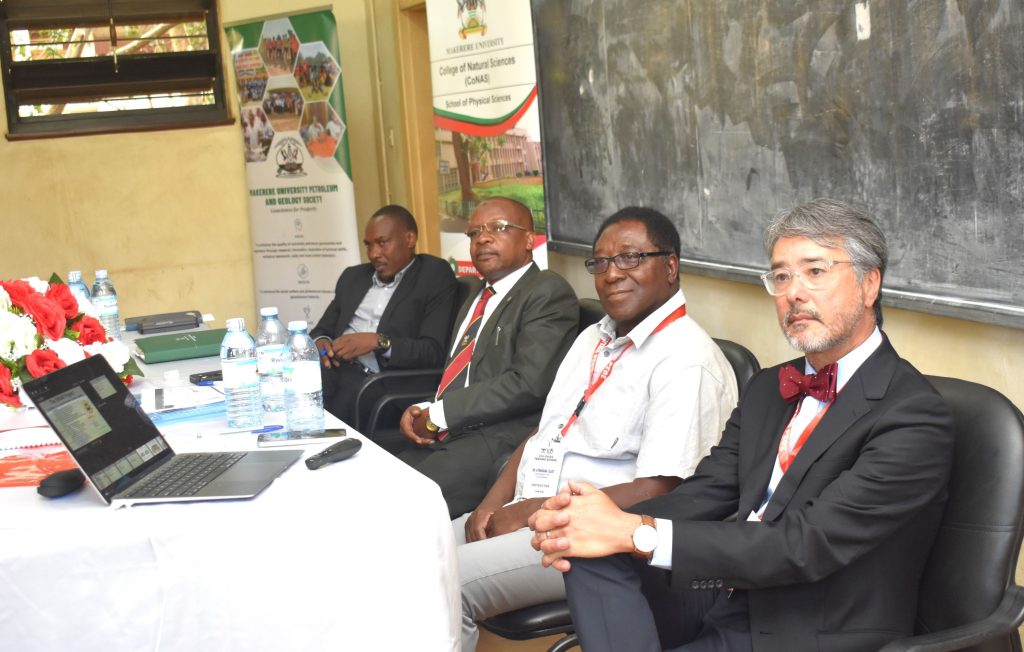
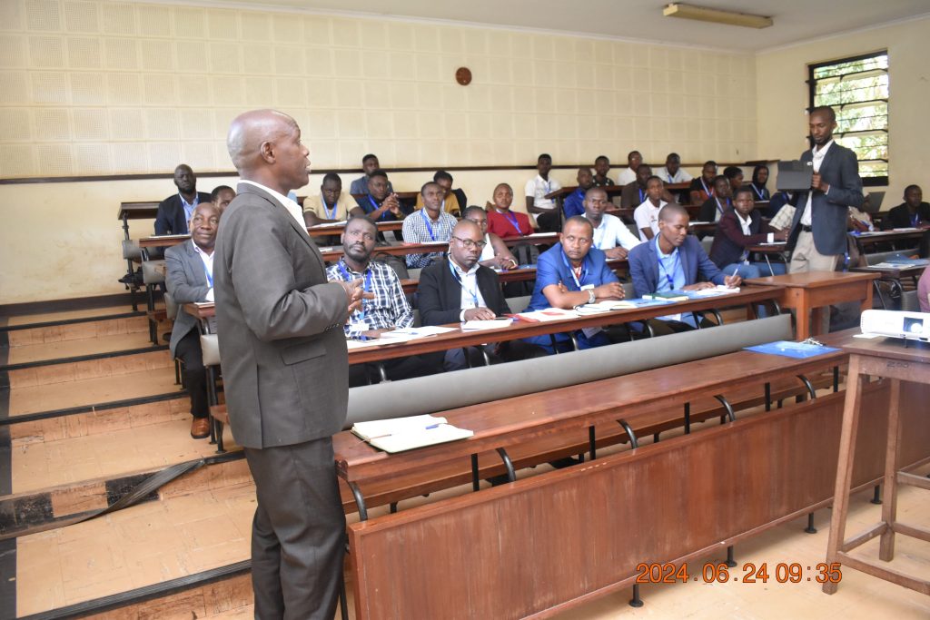
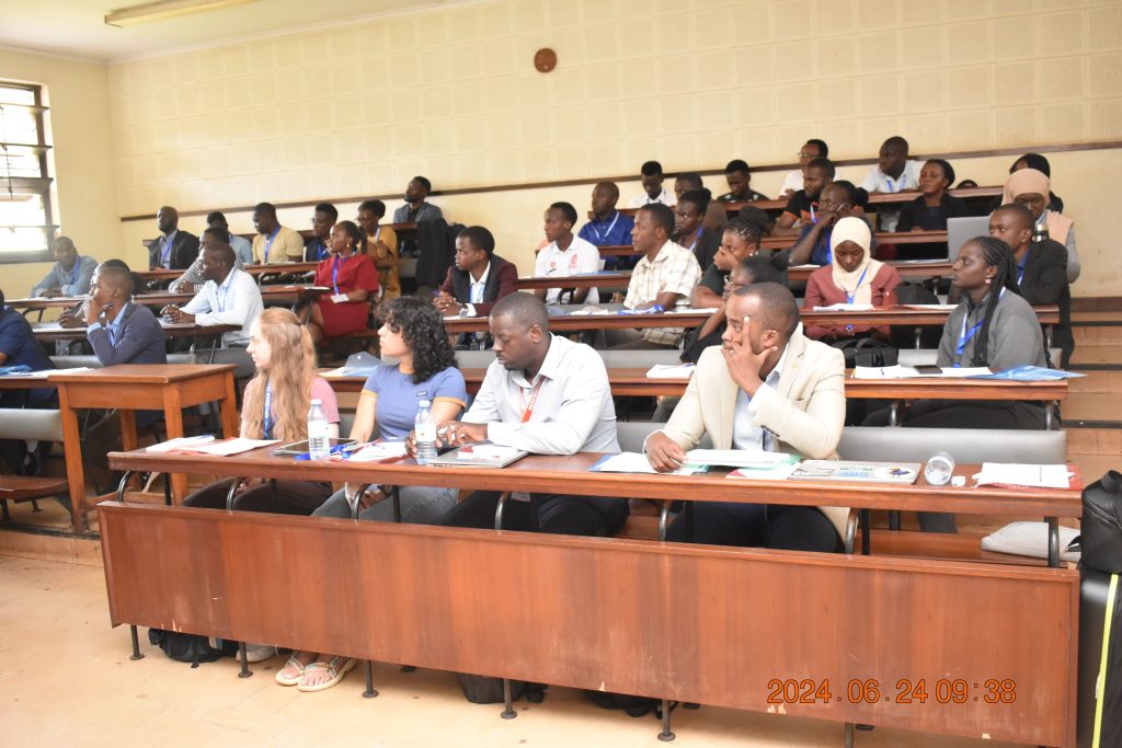
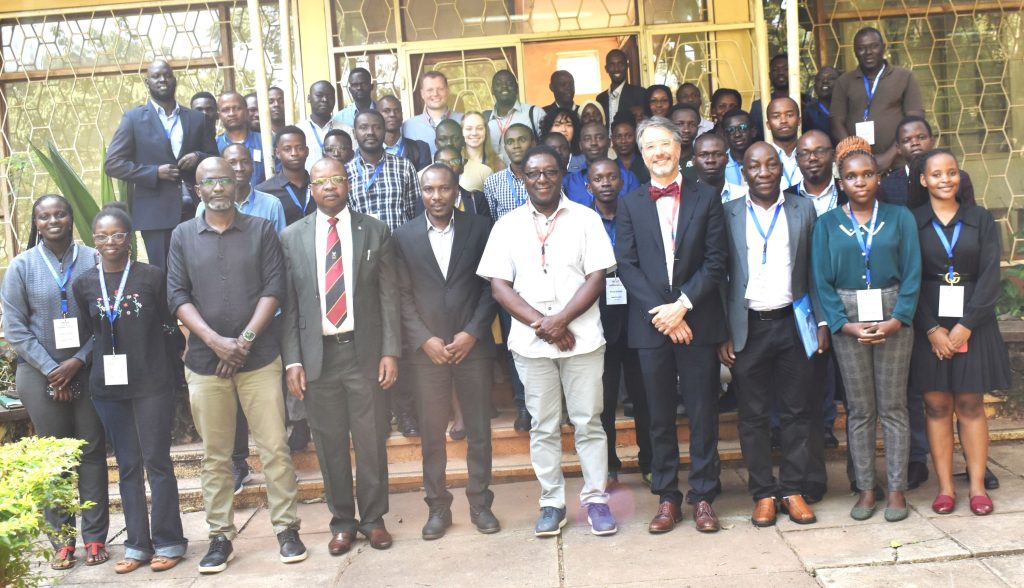
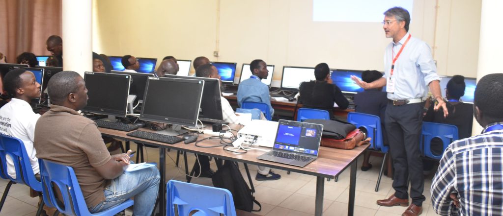
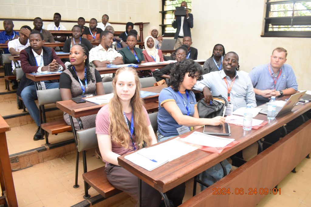
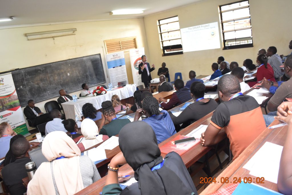
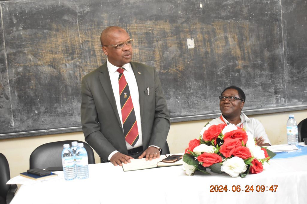
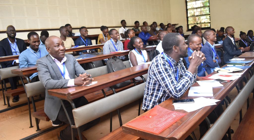
The 2nd DRIAR Project Field Training School commenced on Monday, 24th June 2024 with over 30 participants from the Department of Geology and Petroleum Studies at Makerere University, the University of California-Davis, Northwestern University, and Uganda’s Ministry of Energy and Mineral Development. The six-day training is being conducted at the Department of Geology and Petroleum Studies, College of Natural Sciences (CoNAS), Makerere University. Officially opened by the Principal of CoNAS, Prof. Winston Tumps Ireeta, the training will cover two modules: Structural Geology and Neotectonics led by Dr Mike Taylor from the University of Kansas, and Geochemistry led by Dr Ellot Atekwana from the University of California-Davis. Activities will include UAV/Drone mapping, strabospot mapping, structural interpretation, sampling of hot springs and geochemical interpretation. The training programme is part of the activities in the Memorandum of Understanding signed between Makerere University and Virginia Polytechnique Institute and State University, the leading institution of the consortia of universities participating in the DRIAR Project, to conduct geophysical, geochemical and geological studies in the Albertine-Rhino Graben in Uganda.
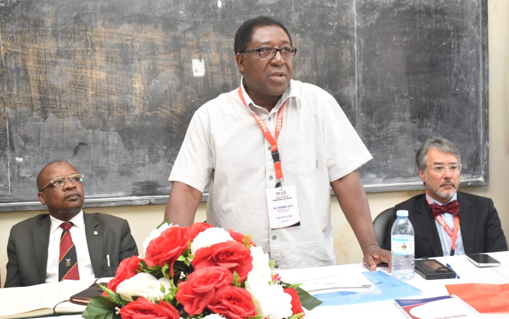
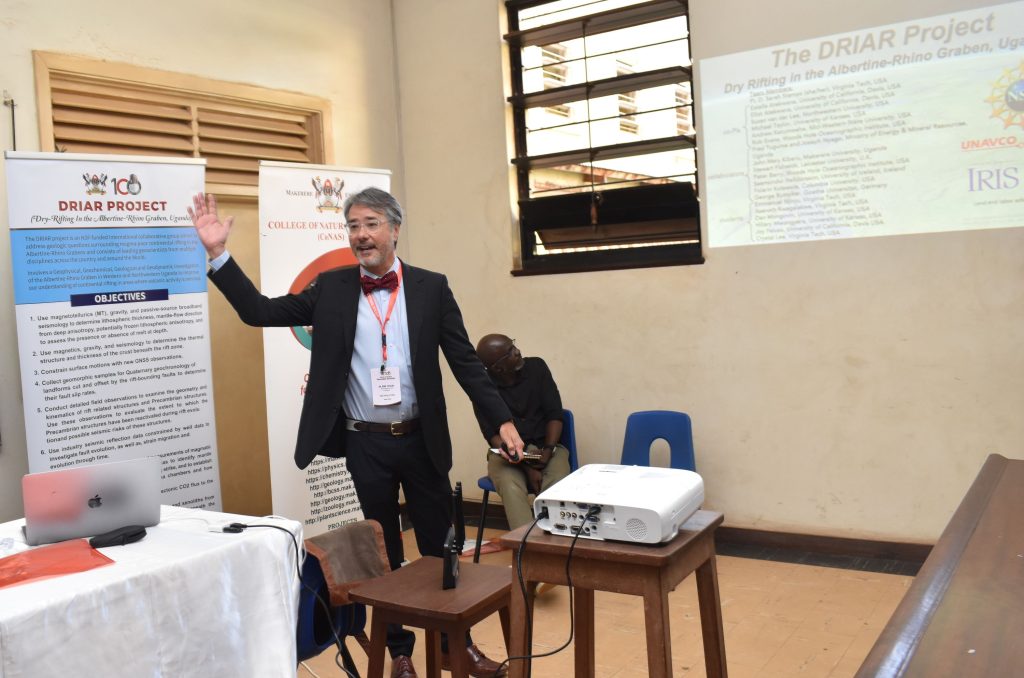
During the opening ceremony, Dr Mike Taylor presented the scientific motivation for the project, study areas, methods being used, field plan, and benefits of the project to Uganda and beyond.
About the Dry-Rifting in the Albertine-Rhino Graben (DRIAR) Project
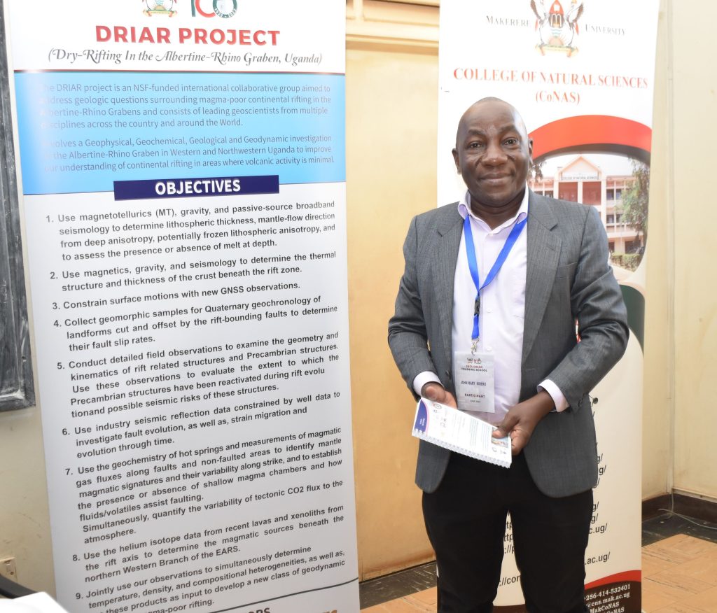
Funded by the United States National Science Foundation, the Dry-Rifting in the Albertine-Rhino Graben (DRIAR) Project is an international collaborative group aimed at addressing geological questions surrounding magma-poor continental rifting in the Albertine-Rhino Graben. The three-year project (December 2020 to November 2024) consists of leading geoscientists from multiple disciplines across the United States and around the world. The project goal is to apply geophysical, geological, geochemical, and geodynamic techniques to investigate the Northern Western Branch of the East African Rift System in Uganda to improve the understanding of continental rifting in areas where volcanic activity is minimal. At Makerere, the Project is coordinated by Dr John Mary Kiberu from the Department of Geology and Petroleum Studies.
Objectives of the Project
Continental rifting is an integral component of the plate tectonic paradigm, yet speculation remains about the physical processes involved in magma-poor/-dry rifting. The objectives of the project include;
- Use of magnetotellurics, gravity, and passive-source broadband seismology to determine lithospheric thickness, map the rigidity and density of the lithosphere, mantle-flow direction from deep anisotropy, potentially frozen lithospheric anisotropy, and to assess the presence or absence of melt at depth.
- Use magnetics, gravity, and seismology to determine the thermal structure and thickness of the crust beneath the rift zone.
- Constrain surface motions with new GNSS observations.
- Collect geomorphic samples for Quaternary geochronology of landforms cut and offset by the rift-bounding and intra-basinal faults to determine their fault slip rates.
- Conduct detailed field observations to examine the geometry and kinematics of rift related structures and pre-rift (Precambrian) structures. Use these observations to evaluate the extent to which the Precambrian structures have been reactivated during rift evolution and possible seismic risks of these structures.
- Use industry seismic reflection data constrained by well data to investigate fault evolution, as well as, strain migration and evolution through time.
- Use the geochemistry of hot springs and measurements of magmatic gas fluxes along faults and non-faulted areas to identify mantle magmatic signatures and their variability a long strike, and to establish the presence or absence of shallow magma chambers and how fluids/volatiles assist faulting. Simultaneously, quantify the variability of tectonic CO2 flux to the atmosphere.
- Use the helium isotope data from recent lavas and xenoliths from the rift axis to determine the magmatic sources beneath the northern Western Branch of the EARS.
- Jointly use the observations to simultaneously determine temperature, density, and compositional heterogeneities, as well as, use these products as input to develop a new class of geodynamic models for magma-poor rifting.
Basing on these objectives, the project team seeks to unravel the physics leading to the new breakage of the earth’s crust in the region, and to better understanding of continental rifting. Additionally, the project seeks to improve data on estimates of carbon dioxide transfer into the atmosphere that occurs during continental rifting, advancing rifting models used for exploring natural resources, and creating new insights into seismic hazards associated with active faulting. The project will involve analysis of Global Navigation Satellite System data collected in Uganda. The scientific results of this project will be communicated, in part, through short educational videos geared towards public audiences.
Benefits to Uganda
In addition to the trainings offered, the Project supports three Ugandan PhD students based at universities in the United States namely: Ms. Asenath Kwagalakwe, Virginia Tech; Mr Hillary Mwongyera, University of Kansas; and Mr. Albert Kabanda Northwestern University.
Makerere University activities on the project
- Assist in the recruitment of MSc and PhD students for training in the US
- Participate in data sharing, processing, and interpretation
- Contribute to manuscript writing
- Help with the installation and download of geophysical data
- Provide field vehicles for use during project fieldwork
- Recruit guides and drivers
- Participate in the evaluation of the project
- Support for obtaining research permits for USA collaborators
Project partners;
- Makerere University
- Ministry of Energy and Mineral Development – Uganda
- Virginia Tech.
- University of Delaware
- Woods Hole Oceanographic Institution
- North-western University
- University of Kansas
- Midwestern State University